


Urgent Snow Alert: Tri-State Area to Experience Winter Weather Tuesday
UPDATE: The Tri-State Area is bracing for winter weather as light snow is set to impact the region early Tuesday morning. CBS News New York reports that snow will begin moving in from west to east around 3-4 a.m., coinciding with the morning commute.
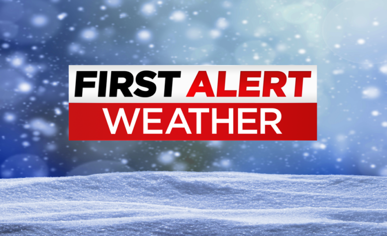
Residents should prepare for potentially slick roads, especially in areas north and west of the city. Authorities have issued a First Alert Weather Day for Tuesday, highlighting the urgency for safe travel during this winter event.
By midday Tuesday, the snow is expected to transition to rain for many locations, with total accumulations likely reaching up to 1 inch on colder surfaces. Temperatures will rise into the mid and upper 30s by the afternoon as the precipitation moves out.
Monday will start off chilly with temperatures in the 20s, but will climb into the upper 30s by the afternoon under mostly sunny skies, though wind chills may linger in the low 30s. As clouds thicken Monday evening, conditions will shift toward winter weather overnight.
Looking ahead, Christmas Eve is forecasted to be dry and seasonable with highs in the low to mid 40s, while Christmas Day may bring mostly cloudy skies with occasional showers.
Stay informed with the latest weather updates, including live radar and alerts from CBS News New York. Prepare now to ensure a safe commute tomorrow morning!