


Central Texas Faces Renewed Flooding Threat as Evacuations Ordered
Severe weather conditions have prompted authorities to issue mandatory evacuations in parts of central Texas as flash flooding threatens the region once again. Just a week after devastating flash floods caused significant damage and loss of life in Texas Hill Country, slow-moving thunderstorms are expected to bring heavy rainfall, raising alarms for residents on Sunday.
The National Weather Service declared a flash flood emergency for southeastern San Saba County, including areas around Colorado Bend State Park. Reports indicate that six to eight inches of rain fell within just six hours, resulting in dangerous conditions. In nearby Sutton, flooding has led to stalled vehicles on Interstate 10, with water levels approaching some homes. Mandatory evacuation orders have been issued for certain areas in San Saba County due to the ongoing risk.
According to the National Weather Service, “Torrential rainfall is causing a rapid rise along the San Saba River from Menard to San Saba. The San Saba River near San Saba is forecasted to crest at a major category, exceeding 31 feet.” This alarming rise in water levels has prompted swift action from local authorities.
Ground search operations in Kerrville were halted due to the heightened flood threat. The Kerrville Police Department warned that search crews must evacuate the river corridor until further notice. “Any volunteer search parties in the Guadalupe River corridor need to heed this warning. The potential for a flash flood is high,” the department stated on social media.
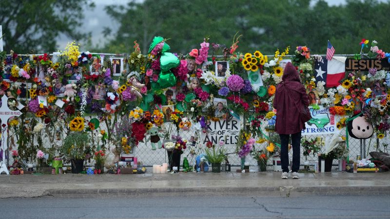
As thunderstorms continue to move south and east, areas including Kerr County are on high alert. The region has already suffered from the tragic impacts of flooding, with 103 confirmed deaths and at least 140 individuals still unaccounted for from the July 4 incidents. Forecasts predict an additional 1 to 3 inches of rain, with localized amounts potentially reaching between 9 to 12 inches in flood watch zones.
Wireless Emergency Alerts have been issued to residents, emphasizing the seriousness of the situation. One alert cautioned, “This is a dangerous and life-threatening situation. Do not attempt to travel unless you are fleeing an area subject to flooding or under an evacuation order.”
The rainfall is expected to elevate rivers and creeks to flood stage. The Guadalupe River at Hunt is projected to exceed 14 feet by Sunday afternoon, entering moderate flood stage. Additionally, the Guadalupe River at Kerrville is anticipated to crest just below minor flood stage later in the day, according to the National Weather Service.
The Weather Prediction Center has advised residents to avoid “flashy rivers like the Guadalupe if at all possible.” With the ongoing threat of flooding, authorities are working diligently to keep the public informed and safe.